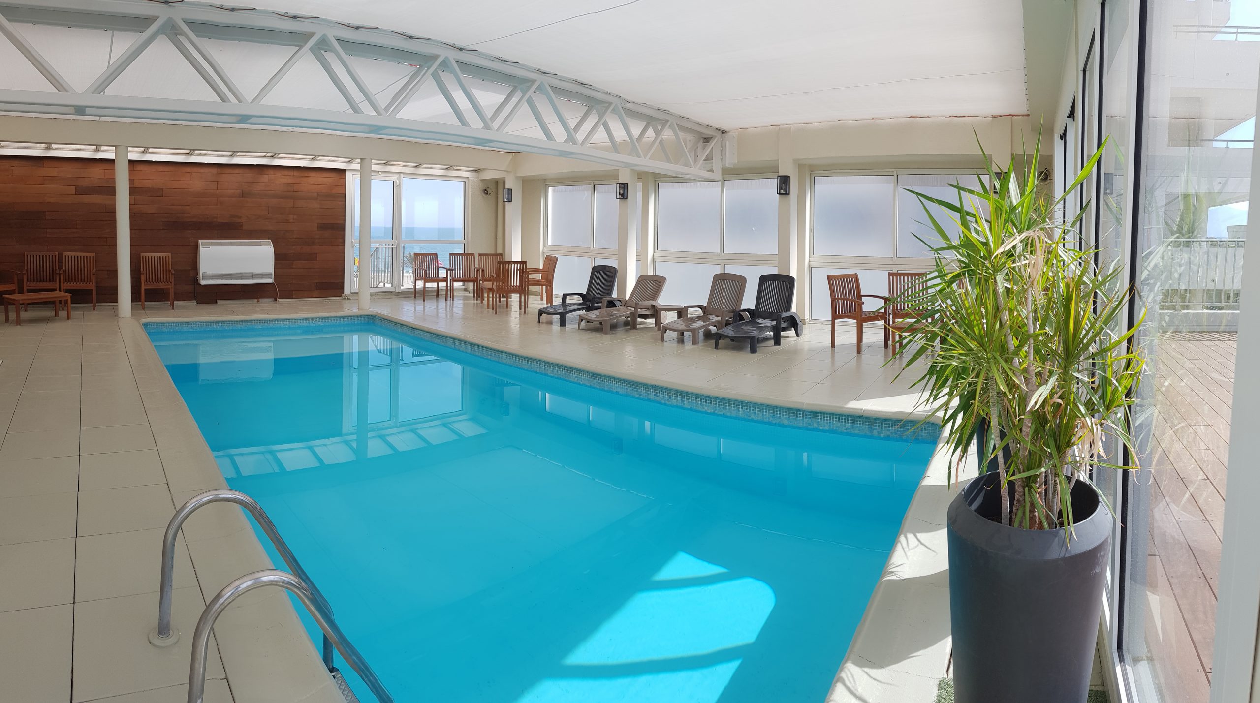
SPA MAR I CEL CANET EN ROUSSILLON
The Spa Mar i Cel welcomes you to a warm and relaxing setting. For a moment of indulgence and well-being, don't wait any longer, and book a moment just for you.
•
Adress
:
Place de la Méditerranée
Hôtel Mar i Cel
CANET-EN-ROUSSILLON
•
Phone
:
+33 4 68 73 85 52
•
E-mail
:
contact@hotelmaricel.com
•
Web site
:
http://www.hotelmaricel.com/
SPA THERMAL
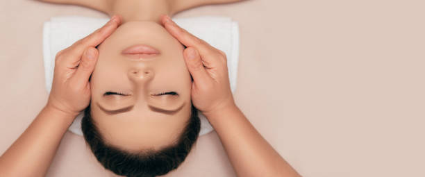
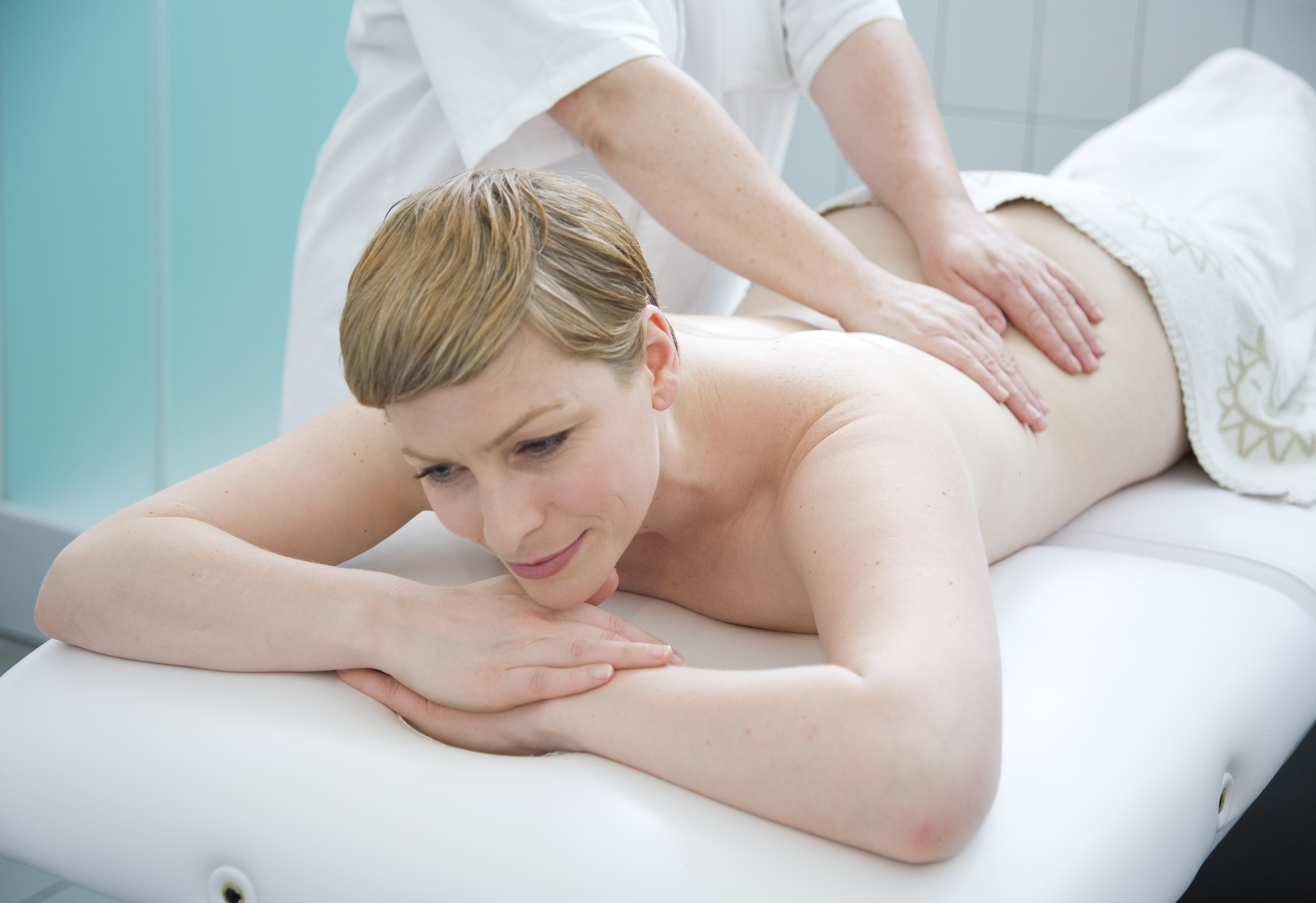
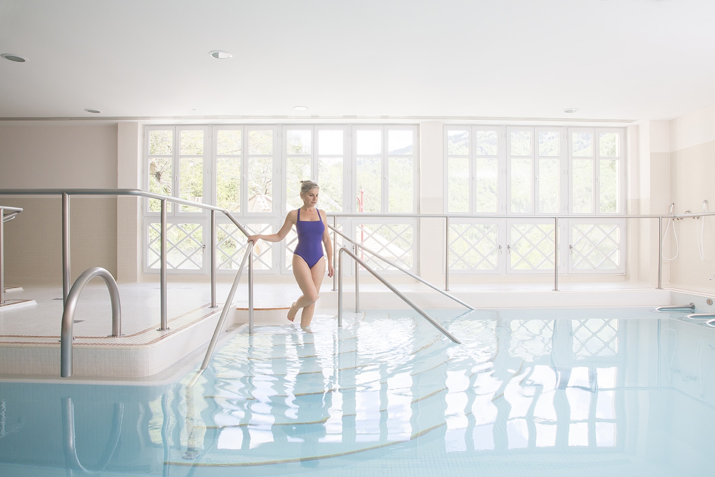
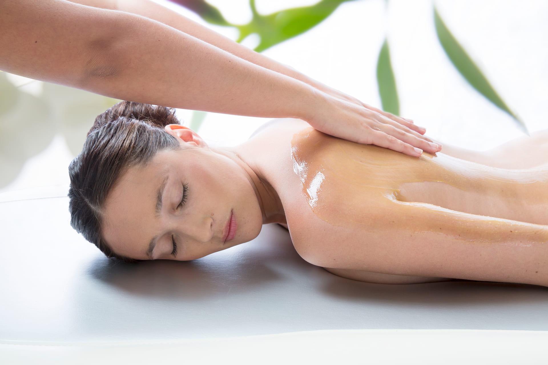
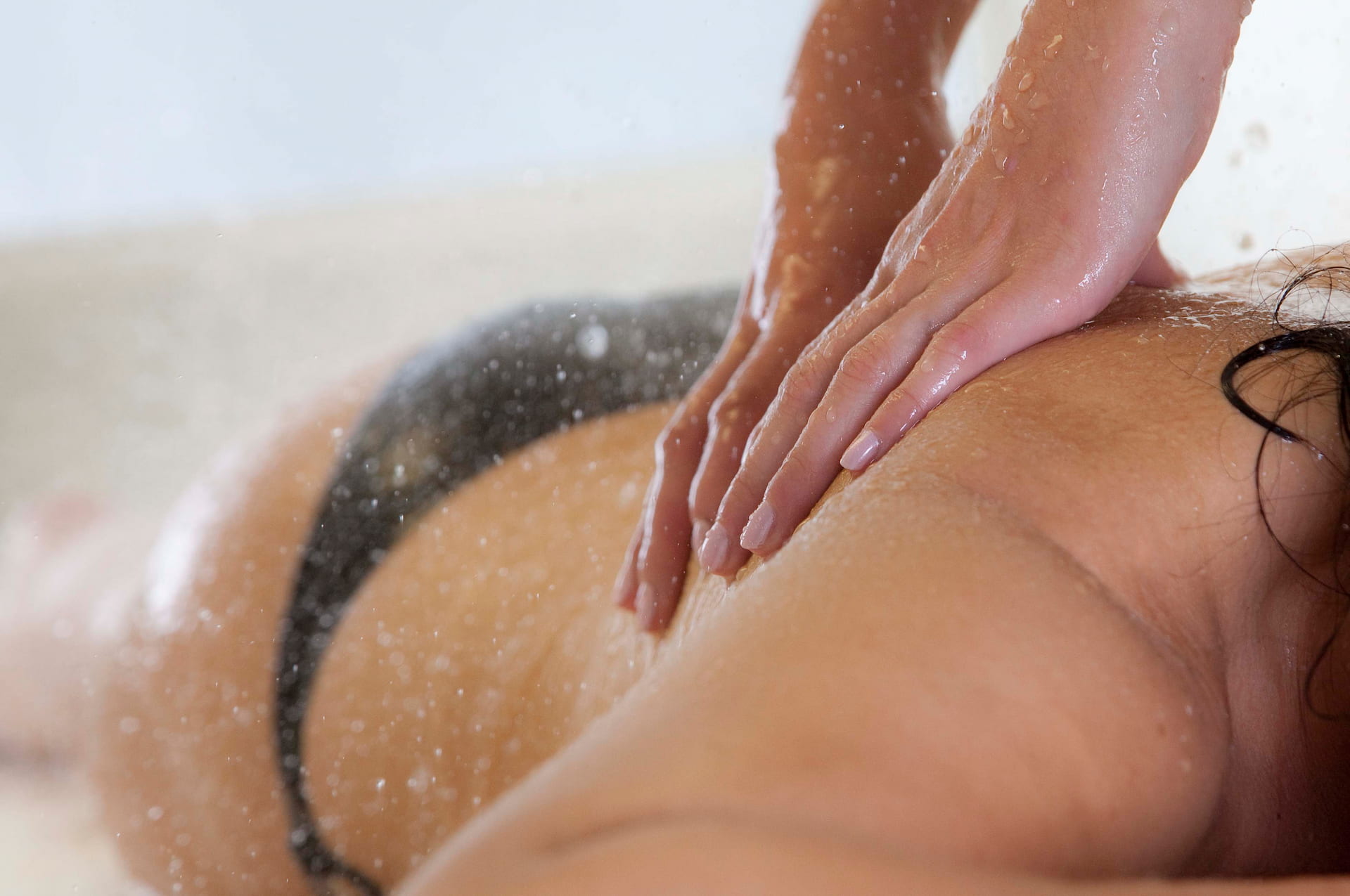
At the Thermes Romains Thermal Spa, enjoy a moment of well-being thanks to the range of treatments on offer: SPA packages, hydrotherapy (thermal wave modelling, kaolin bath, high-pressure jets in the thermal pool, hammam), Beauty Institute (facials, slimming treatments, waxing, beauty treatments and massage with essential oils).
•
Adress
:
Place Maréchal Joffre
AMELIE-LES-BAINS-PALALDA
•
Phone
:
+33 4 68 87 99 00
•
E-mail
:
amelielesbains@chainethermale.fr
•
Web site
:
https://boutique.chainethermale.fr/journees-spa-amelie-les-bains.html
|
https://www.chainethermale.fr/amelie-les-bains/forme-et-spa#anchor-l_rsquo_espace_forme__amp__le_spa_thermal
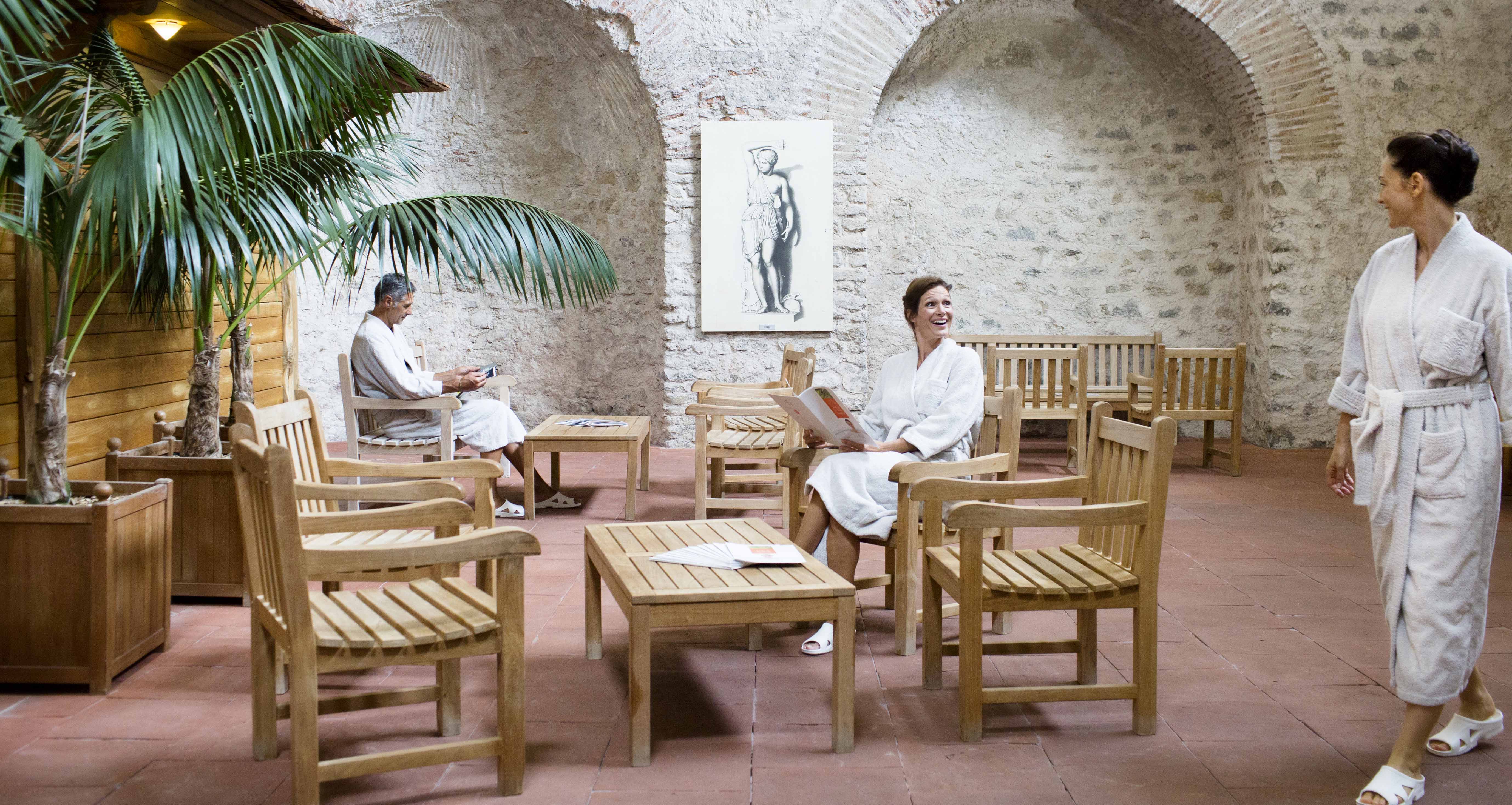
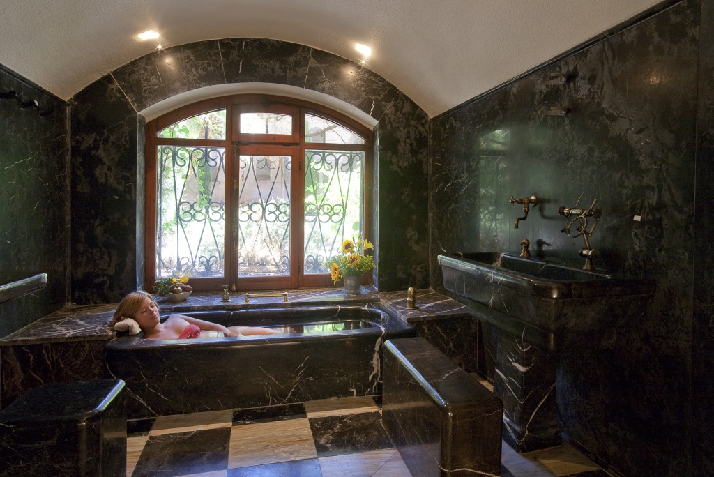
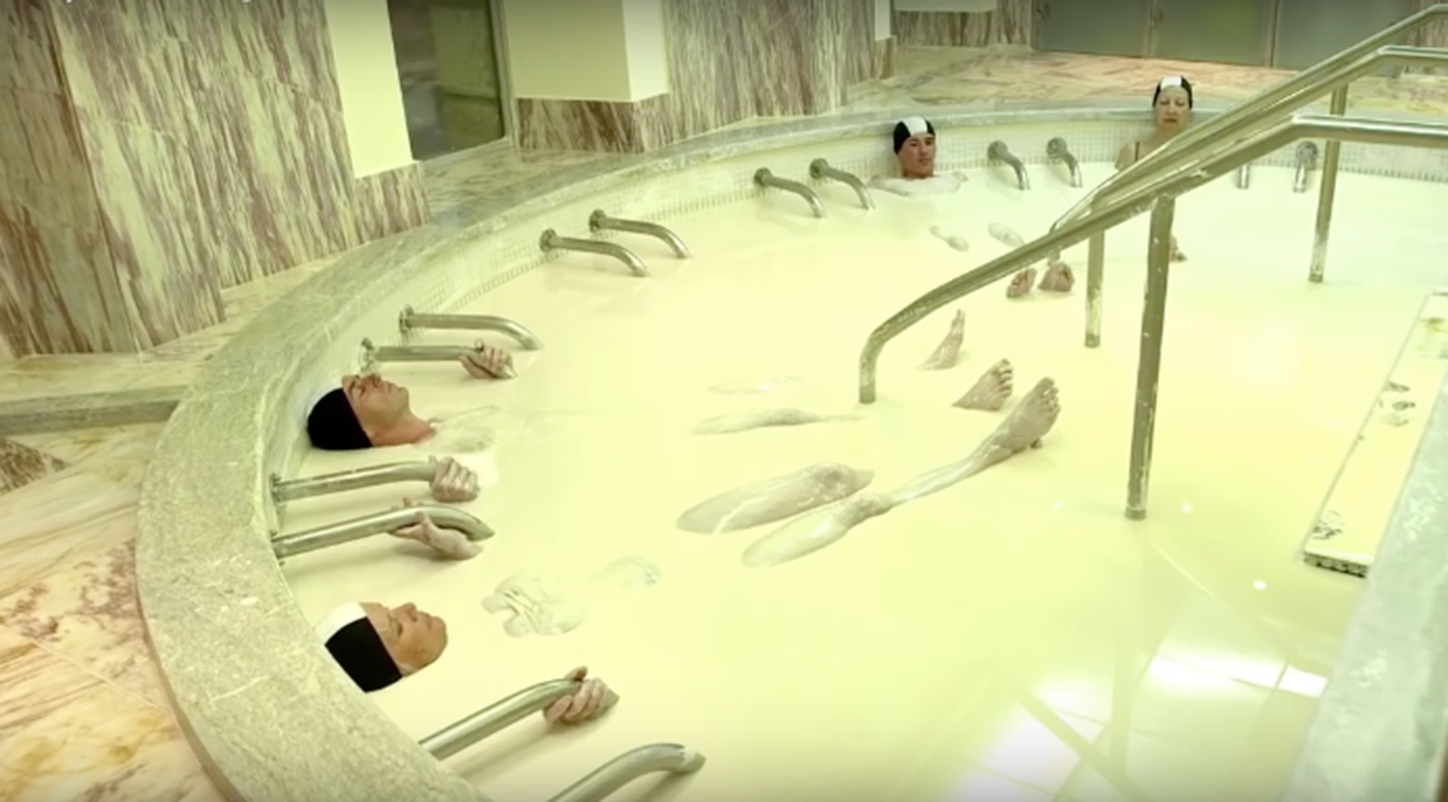
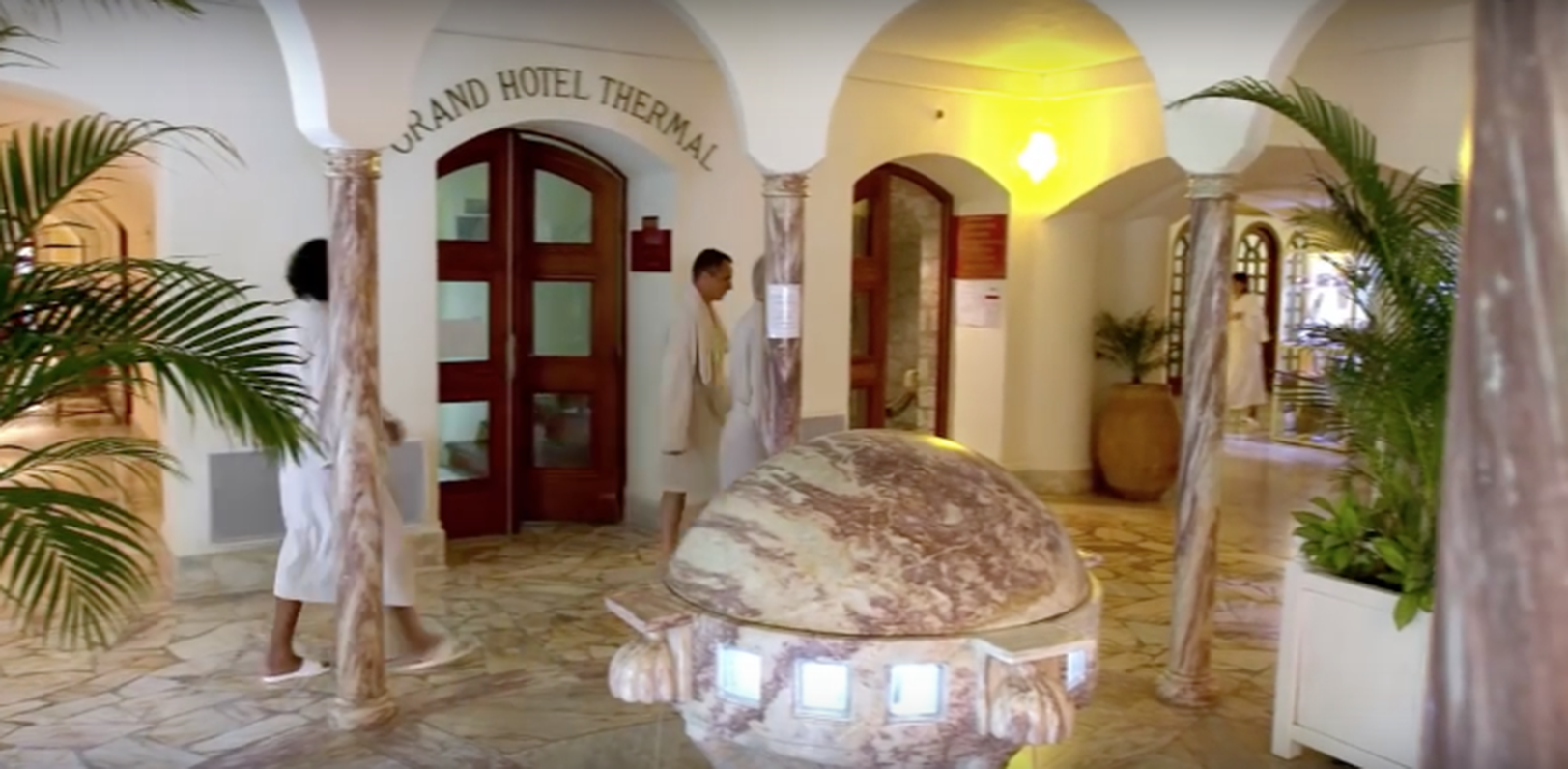
SPA THERMAL DE MOLITG LES BAINS
Thousand-year-old thermal water (18,000 years old!) rich in nutritious thermal plankton.
Facing the eternal snows of Mont Canigó, in one of the wildest valleys in French Catalonia, the Domaine Thermal de Molitg stretches over 60 hectares, between umbrella pines and oleanders, in the heart of breathtaking scenery. Beautiful old buildings, tastefully restored, centuries-old Roman baths with polished marble vaults, and a peaceful atmosphere with exotic, Mediterranean flavours. Exclusive treatments, some of which have been patented (kaolin bath in weightlessness, application of plankton, etc.). Protocols based on our medical expertise, recognised by the health authorities.
•
Adress
:
Thermes de Molitg-les-Bains
MOLITG LES BAINS
•
Phone
:
+33 4 68 05 44 40
•
E-mail
:
molitglesbains@chainethermale.fr
•
Web site
:
https://www.grandhotelmolitg.com/spa-thermal/
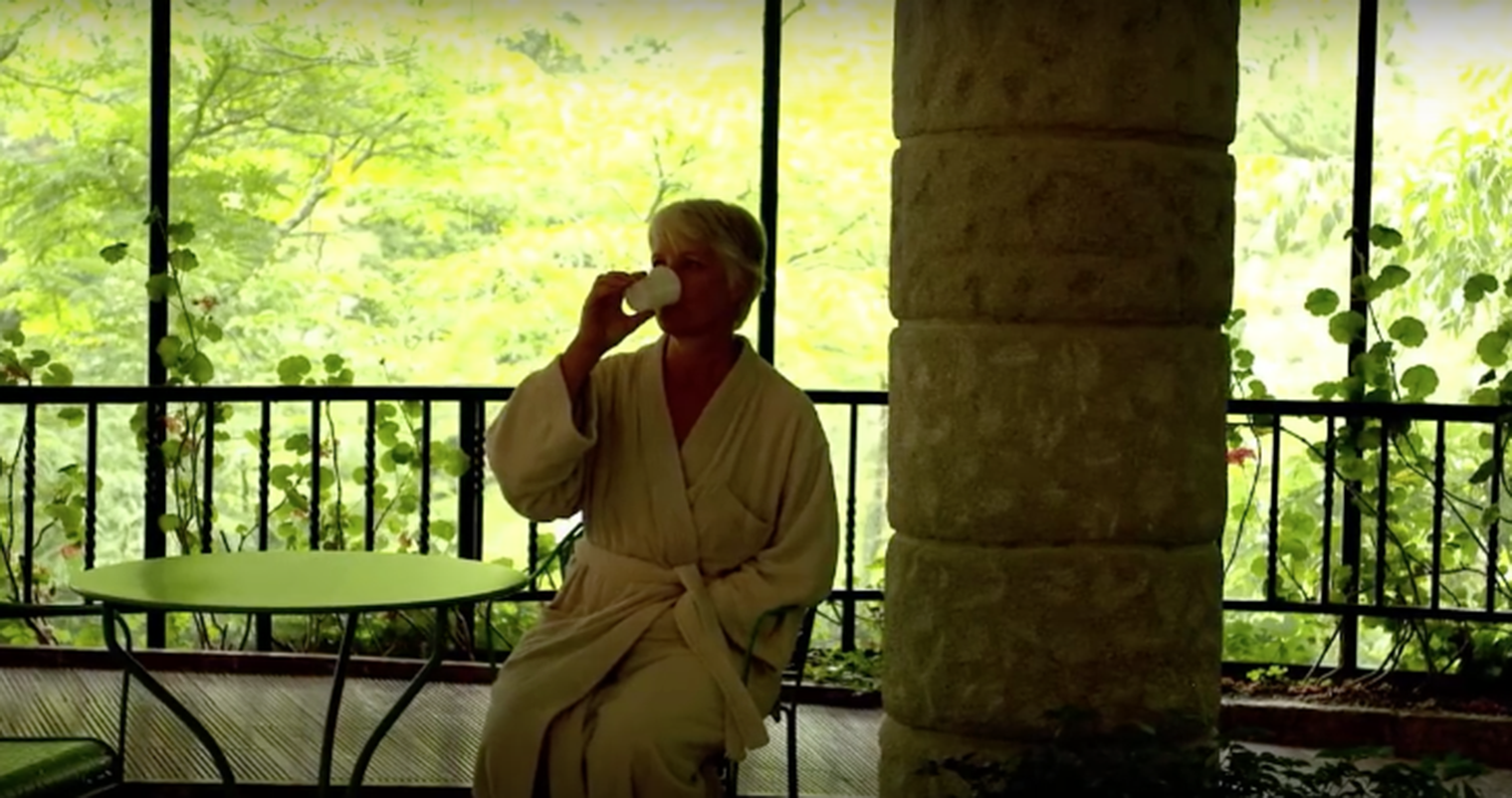
SPA THERMAL LA PRESTE
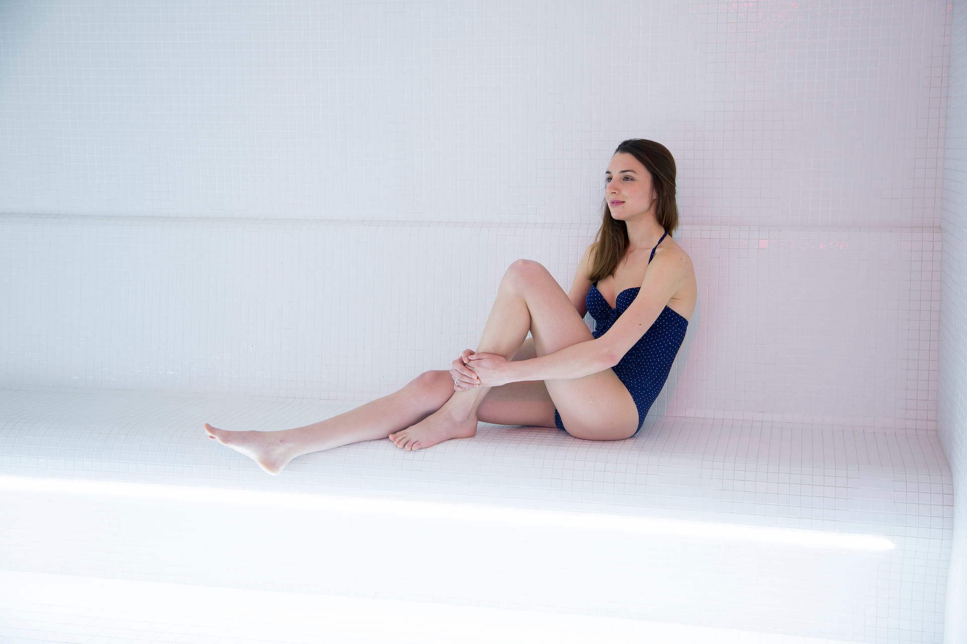
The Spa Thermal de la Preste: body treatments, balneotherapy and beauty area, Sothys beauty treatments.
Our Thermal Spa welcomes you to the heart of the Premier Service, where a cosy atmosphere envelops you like a cocoon. Individual treatment rooms, a thermal water pool and a relaxation room with a panoramic view over the valley, cosy linen and a personalised welcome promise you rejuvenation and well-being.
Discover our individual treatments, as well as half-day packages and themed fitness programmes.
Groups welcome on Saturday afternoons by appointment.
The Espace Beauté is an independent area outside the building. This intimate, stylish space is accessed via the estate's large terrace.
•
Adress
:
572 Route de la Preste
PRATS-DE-MOLLO-LA-PRESTE
•
Phone
:
+33 4 68 87 88 60
•
E-mail
:
laprestelesbains@chainethermale.fr
•
Web site
:
https://boutique.chainethermale.fr/journees-spa-66-la-preste-les-bains.html
Pages :
<<
<
213
214
215
216
217
218
219
220
221
222
>
>>